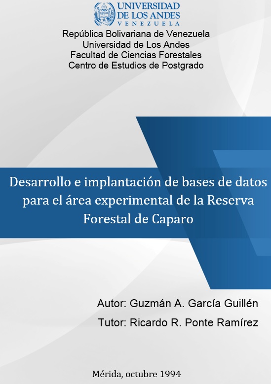
Desarrollo e implantación de bases de datos para el área experimental de la Reserva Forestal de Caparo
Resumen
El Área Experimental de la Reserva Forestal de Caparo cuenta con un buen volumen de información, la cual se encuentra dispersa y requiere ser archivada, manipulada y accesada adecuadamente a través de un sistema de información. En el presente trabajo, se implementa una metodología dentro de un Sistema de Información Geográfica (SIG) para organizar la información en el manejo forestal. Se procede a organizar la información cartográfica y de uso del Área Experimental, que permitirá, la evaluación tanto del bosque no intervenido como de la masa remanente en el bosque explotado con el fin de facilitar el manejo forestal del Área. La metodología seguida incluye las siguientes etapas: 1) La consideración de aspectos iniciales sobre la problemática a investigar, 2) Determinación de la escala de trabajo, 3) Análisis de las características a incluir en la base de datos, 4) Definición y descripción de las características a presentar en las bases de datos, 5) Diseño de las bases de datos espacial y descriptiva, 6) Ejecución de las bases de datos y 7) Producción de las salidas. Dentro de los resultados obtenidos se encuentran los siguientes mapas del Área Experimental: 1) Mapa de vegetación y otros usos, 2) Mapa de división administrativa en Áreas de manejo y rodales, y 3) Mapa de división administrativa en compartimientos y rodales. También, la base de datos construida permitirá obtener consultas y reportes sobre datos generales del Área Experimental y los datos que se incorporen del inventario forestal y otras coberturas a crear. The Experimental Area of the Forestal Reserve of Caparo account with a good amount of scattered information, therefore require to be filed, manipulated and acressed adecuately by means of and information system. In this Work in is proposed a methodology using and Geographic Information System (GIS) in order to organize the required information for forest management. The cartographic information is arranged so that the Experimental Area will permit the evaluation of the unexploite forest as well as the remaining forest of the exploited forest. This methodology facilitate the forest management. The methodology can be, summarized as follow: 1) Initial Consideration about the problem to be searched, 2) Determination of the Cartographic Scala, 3) To choose the basic and thematic characteristics to be used in the Data Base, 4) To define and describe the characteristics to be showed in the Data Base, 5) To design the Data Base from a spatial and descriptive manner, 6) To run the Data Base, and 7) Production of the results. Among the generated results, there are the following maps and other Experimental Area: 1) Vegetation map and other uses, 2) Map of Administrative Division in areas of handling and plot, and 3) Map of Administrative Division in compartments and plot. Also, the Data Base builded will permit obtain query and reports about general Data of Experimental Area and other Data that can be incorporate.
Colecciones

Excepto si se señala otra cosa, la licencia del ítem se describe como http://creativecommons.org/licenses/by-nc-sa/3.0/ve/